
Road traffic signs Gray’s Inn Road / Britannia Street
The system used in Great Britain is that designed by Kinneir Calvert for the Worboys Committee (1963) following the style they had designed for the motorways (Anderson Committee) in 1958. The alphabet itself is sans serif, carefully spaced to ensure legibility when seen from a distance and at speed. Different versions are provided for reversed out or black lettering. Signs have different coloured (and latterly, reflective) backgrounds for different classes of road – blue for motorways, green (as here) for primary routes, white for local signs. Because the distances between all elements on a sign are specified, the size of each sign varies.
The circular, rectangular and triangular signs containing mainly pictorial warnings or instructions follow the forms set out in the Geneva Protocol of 1948.
Taken as a whole, the system carefully addressed all the issues of legibility of letterforms when seen at distance when moving and clarity of information presented. Visually they were a huge step forward from previous versions and still look remarkably fresh today.
Details list – click to switch the current detail
Worboys Committee, 1963
Previous versions
Geneva Protocol, 1948
Click to download the original image.
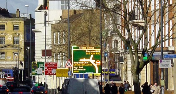
Direction sign for use on local routes. (This is also along the walk, between the Smith’s umbrella shop and Lavers & Barraud.)
Click to download the original image.
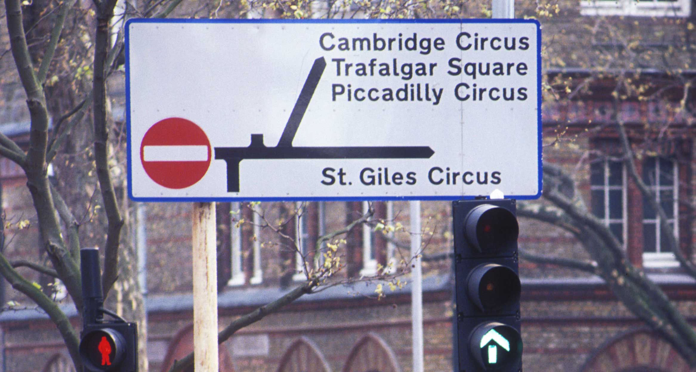
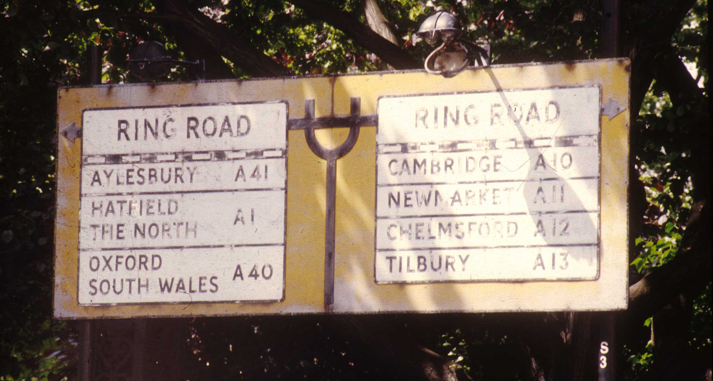
Direction sign for primary routes, until 1994 road numbers alone were used to indicate the class of each road. Only motorways were given a discrete coloured panel.
Click to download the original image.
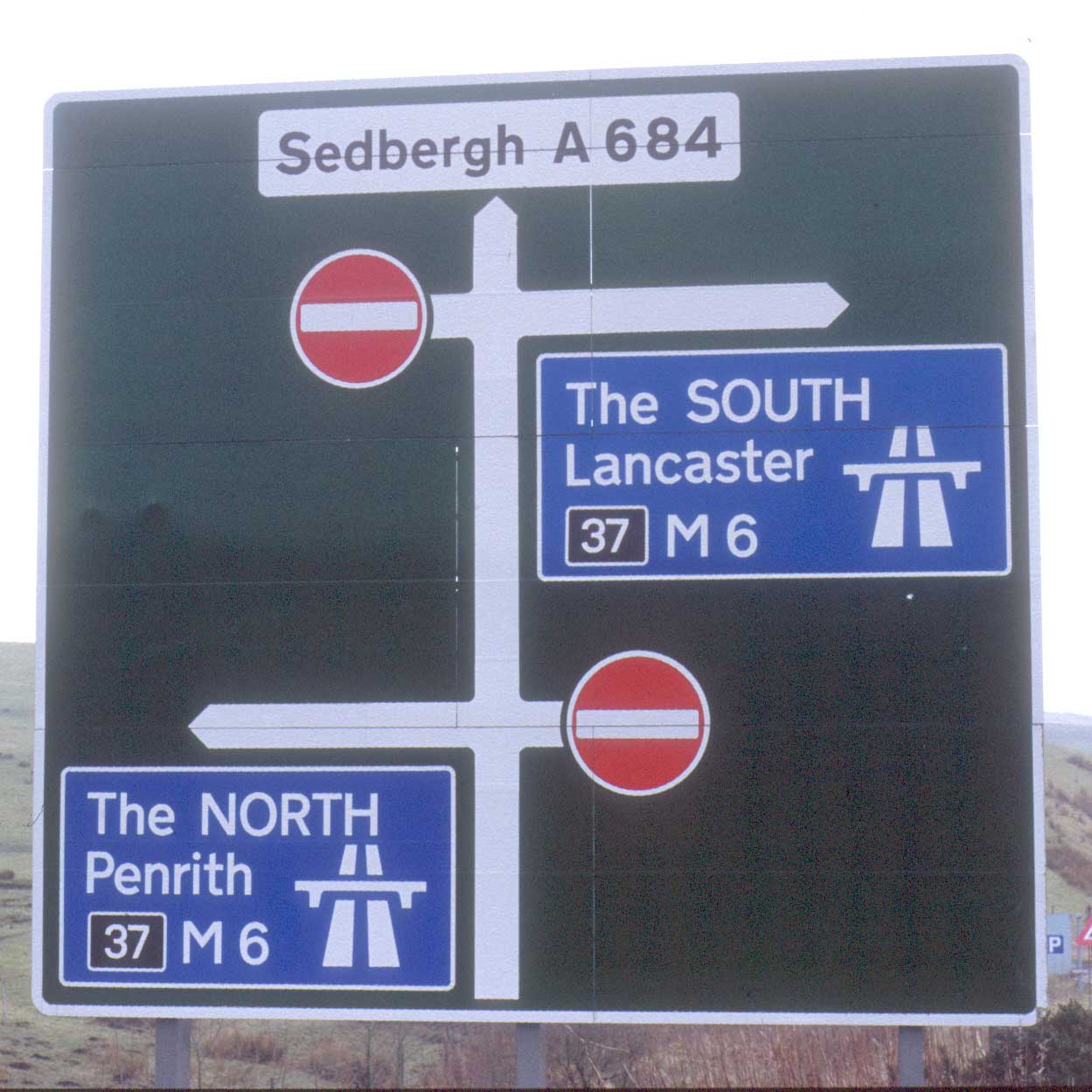
Direction sign for primary routes, 1994 version with coloured panels used to re-inforce the class of each road. These add both to the visual clutter of the signs and to their size.
Click to download the original image.
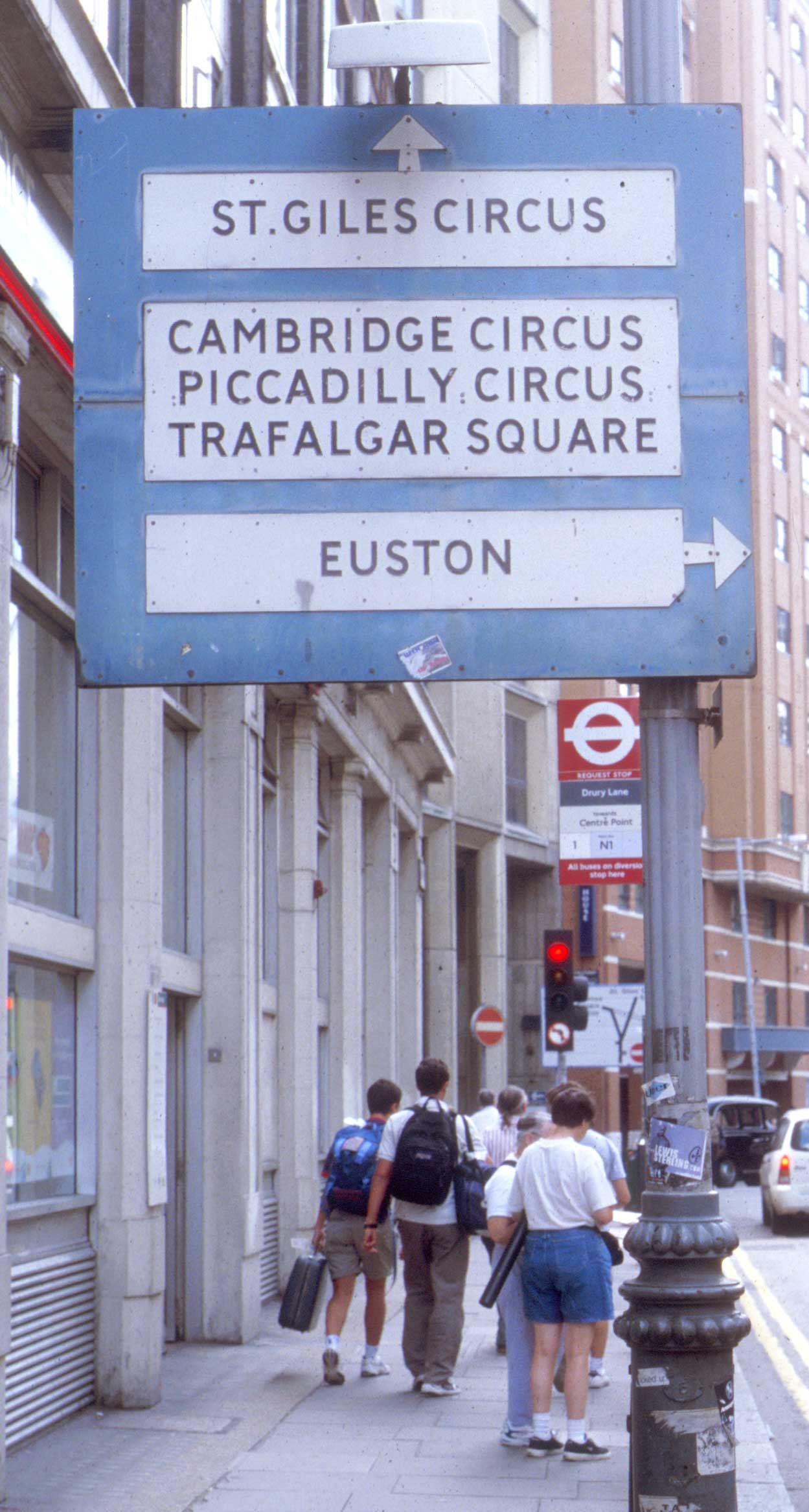
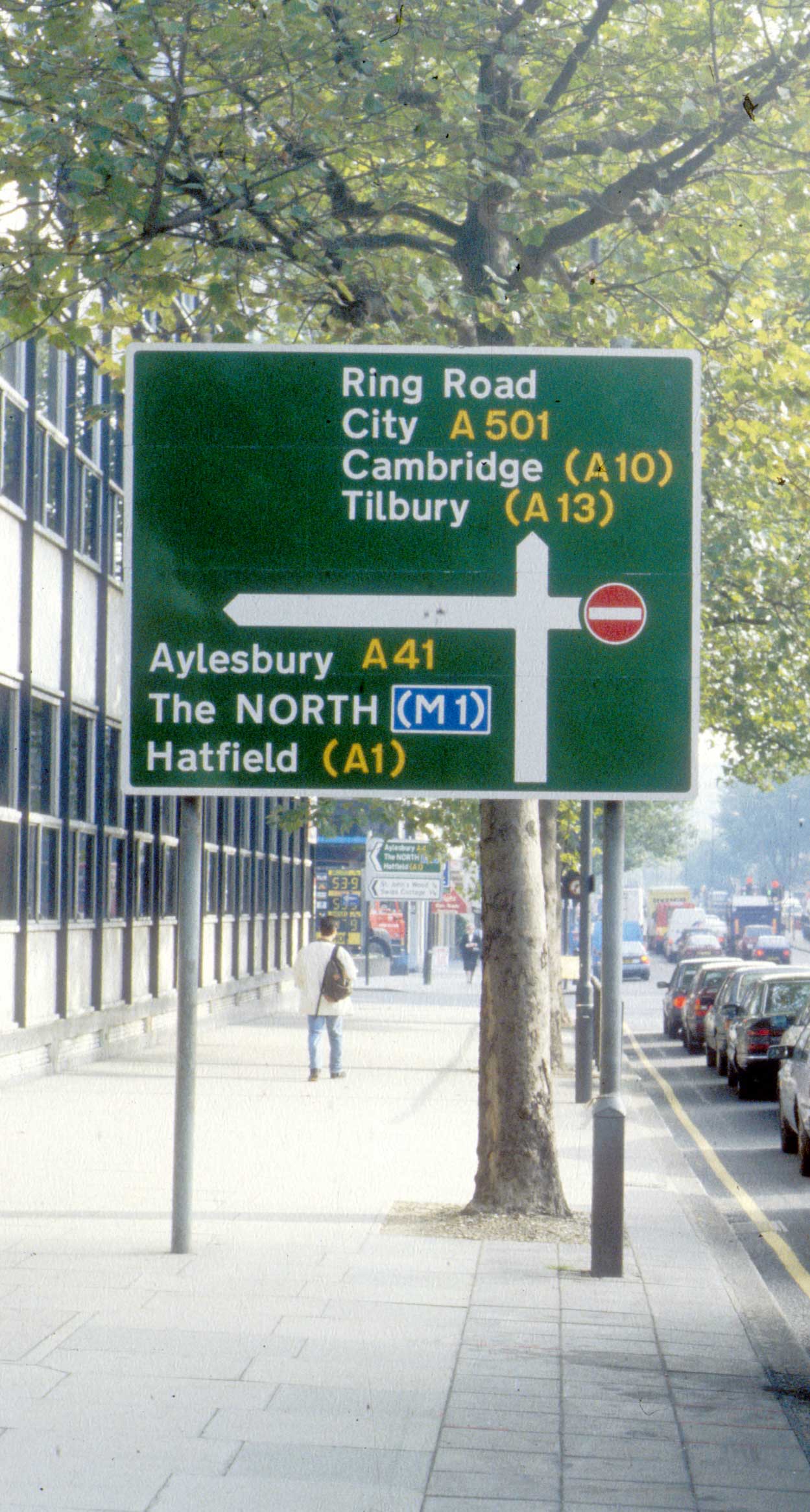
From 1931–64 road signing in Britain used an anonymous caps only sans serif type, black on a white panel within a larger coloured sign (blue or yellow according to class of road). There are quite a number of these older signs in use in central London today.
Click to download the original image.
From 1931–64 road signing in Britain used an anonymous caps only sans serif type, black on a white panel within a larger coloured sign (blue or yellow according to class of road). There are quite a number of these older signs in use in central London today.
Click to download the original image.
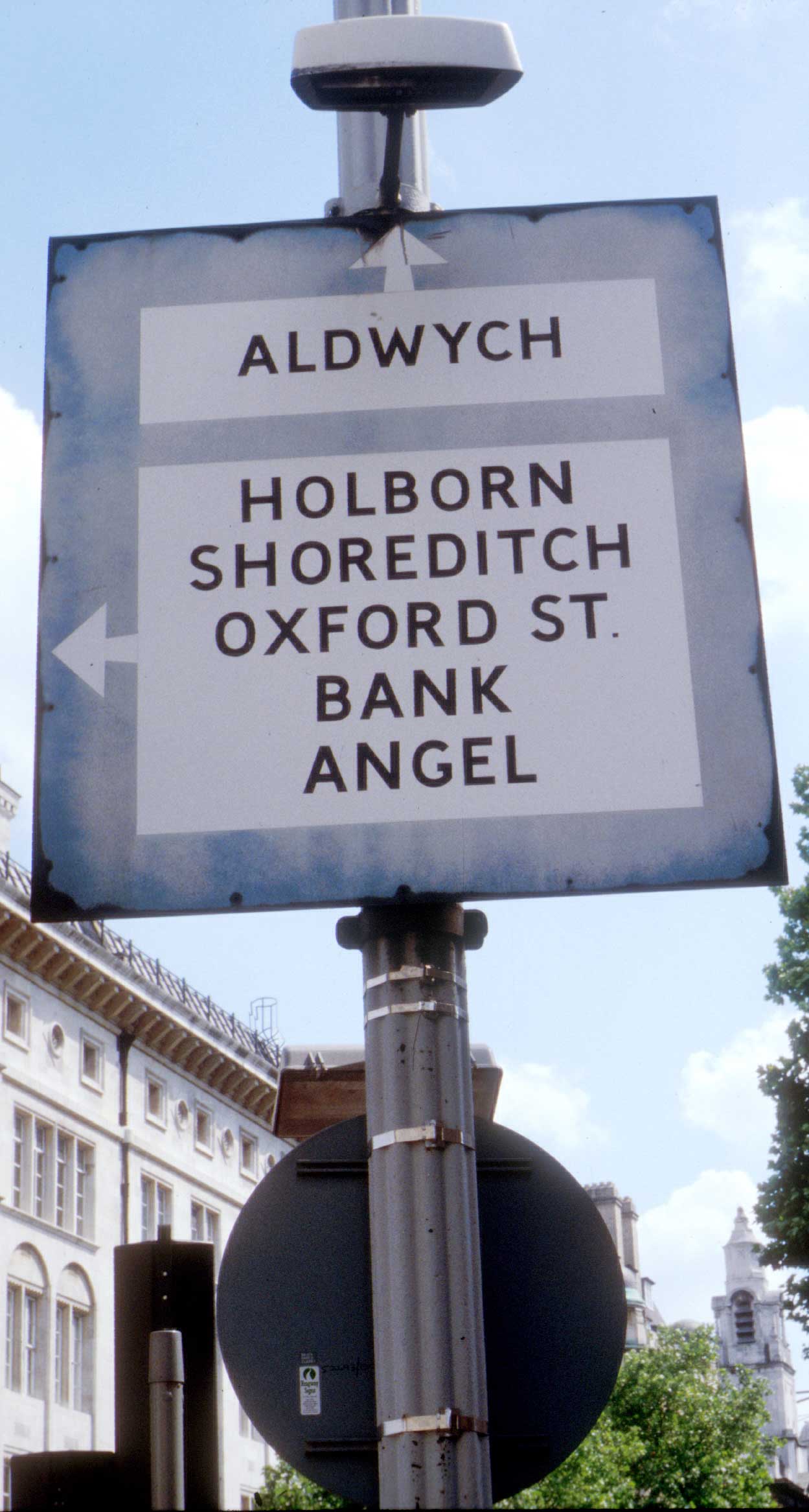
From 1931–64 road signing in Britain used an anonymous caps only sans serif type, black on a white panel within a larger coloured sign (blue or yellow according to class of road). This example survived until 1998.
Click to download the original image.
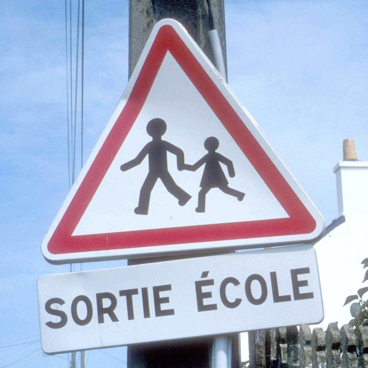
The Protocol set out a set of common signs, their shape, content and colour, but not their exact form. This example is from France.
Click to download the original image.
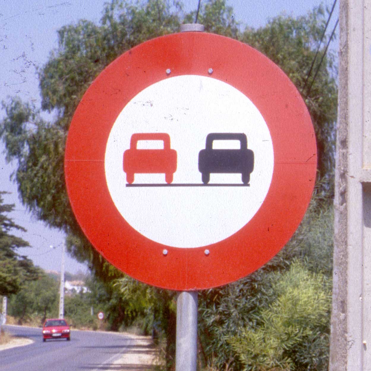
The Protocol set out a set of common signs, their shape, content and colour, but not their exact form. This example is from Portugal.